Plan the flight before you fly it.
AirPlot turns a boundary you draw on a map into a waypoint mission your drone flies on its own — grids, orbits, 3D scans and facade passes, exported as a flight-ready KMZ. Built by a pilot, tested on real flights.
AirPlot turns a boundary you draw on a map into a waypoint mission your drone flies on its own — grids, orbits, 3D scans and facade passes, exported as a flight-ready KMZ. Built by a pilot, tested on real flights.
Every mission type gets the right coverage geometry — mapping grids, 3D crosshatch, structure orbits and more.
Everything you need to plan, price and fly a professional mission — from your phone.

No desktop GIS needed. Walk the property, tap to capture boundary corners with your phone's GPS, and the mission builds itself.

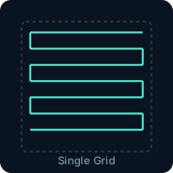
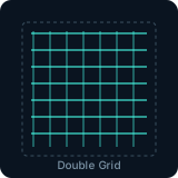
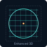
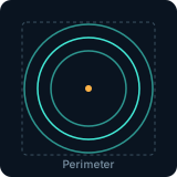
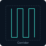
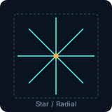
Single & double grids, enhanced 3D, perimeter orbits, corridors, and radial scans — with gimbal curves and variable altitude profiles.

Generates industry-standard WPML waypoint missions (.kmz), field-tested on real aircraft. Load onto your controller and fly.

Mission estimates, battery planning, photo-interval guidance, and a client quoting tool with your own rates — the business side, handled.
Automated waypoint missions are how drones do real work — consistent altitude, consistent overlap, the same flight repeatable next month. Traditionally that meant desktop software and a laptop in the truck. This is the whole job from a phone, and the reference for every control in AirPlot.
Walk the property and tap each corner with GPS, or search an address and drop points straight onto the map. Three points make a mission; more trace complex parcels.
Six patterns, each with a job: lawnmower grids for mapping, crosshatch for 3D reconstruction, orbits for structures, corridors for roads and fencelines.
Grid heading decides what the sensor sees — nose locked forward, tracking the flight path, or held on a point of interest for the whole pass.
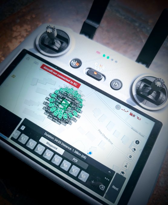
Consumer flight apps have no import button. The technique is replacing a placeholder mission’s file — five minutes, once, and it works every time after.
Your drone is an asset. Here's how to deploy it — mapping, 3D, inspection, and real estate work that pays.
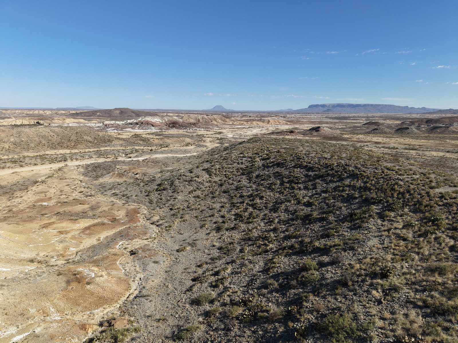
How a good elevation model turns arid-land topography into a water harvesting plan — and why the flight decides the model.